AvMap Ultra EFIS, Electronic Flight Instrument System
AvMap Ultra EFIS, Electronic Flight Instrument System
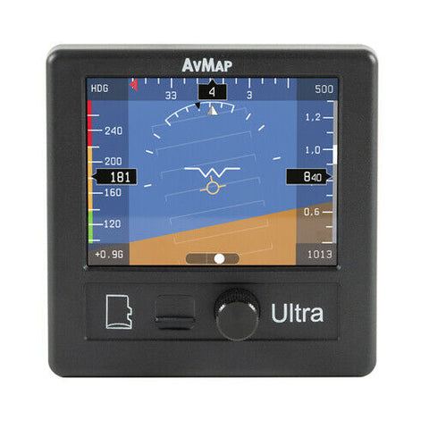
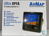
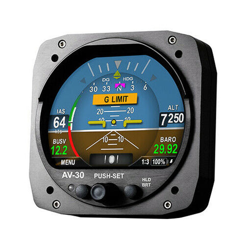
The Ultra EFIS is a complete instrumentation system for primary flight display (PFD) and horizontal situation indicator (HSI) functions. It is a rugged and reliable system designed for fixed panel installation and fits in a standard 3 1/8” diameter hole. This unit combines 9 instruments into 1. Users get an Altimeter, Airspeed Indicator, Artificial Horizon, Directional Gyro / HSI, Side Slip Indicator, Vertical Speed Indicator, Automatic Direction Finder with GPS, G-meter, and Magnetic Compass all in one instrument. The Ultra EFIS contains solid-state gyros, accelerometers, magnetic field sensors, air data sensors and motion processors.
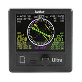
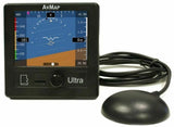
Connecting an external GPS receiver to the Ultra, the system provides the pilot with navigation information on the HSI page, providing its position, direction and radials relative to reference navigation points.
AvMap Ultra is a stand alone EFIS with a 3.5” ultra bright LCD display. The unit is compact (only 63.3 mm /2.49” of installing depth) and ultra light: only 230 g (8.1 Oz)!
Specs
Hardware
- Dimensions: 3.74” x 3.74” x 2.63” (95 x 95 x 67 mm)
- Diameter: 77.5 mm (3.05”); Installing diameter: 79.5 mm (3 1/8”)
- Weight: 8.1 oz (230 g)
- Display: 3.5”; 320 x 240 pixels, brightness 500 cd/m2
- 3-axis gyros, accelerometers, and magnetometers
- Acceleration range (3 axis): +/- 8 g
- Rotation Range: +/- 1600 deg/s
- Air data sensors: range 10 to 215 kts, -1000 to 40000 ft
- UAV Navigation® Motion processor
- Micro SD slot (for software and navigation POI updates)
- 59” (1.5 m) free wires power supply cable (10/35 VDC)
- 3 serial ports RS-232
- Consumption @ 12 V DC: 100 mA nominal
- GPS receiver U-Blox NEO 6Q with 59” (1.5 m) cable
Software
- Advanced data fusion capability
- Airspeed and Altitude from Pitot-static system
- Attitude (roll, pitch and heading) and side slip
- Wind indicator
- Clear HSI with Course Deviation Indicator (CDI)
- Altimeter reference, heading reference, aircraft specific V-speed reference values
- Navigation data relative to reference navigation points
- G-meter
- Intelligent position calculation (even in absence of GPS) = Exceptional navigation capability in case of loss of GPS signal
- Preloaded with North America Jeppesen POIs (APT, VOR, NDB). Other coverages (Europe-Africa, South America, Asia-Australia) can be ordered from AvMap.
- 825
We Also Recommend

